SURVEYING
Sensor technology
& Cameras
- High-resolution daylight cameras provide aerial photographs for snow depth maps and video footage for documentation purposes
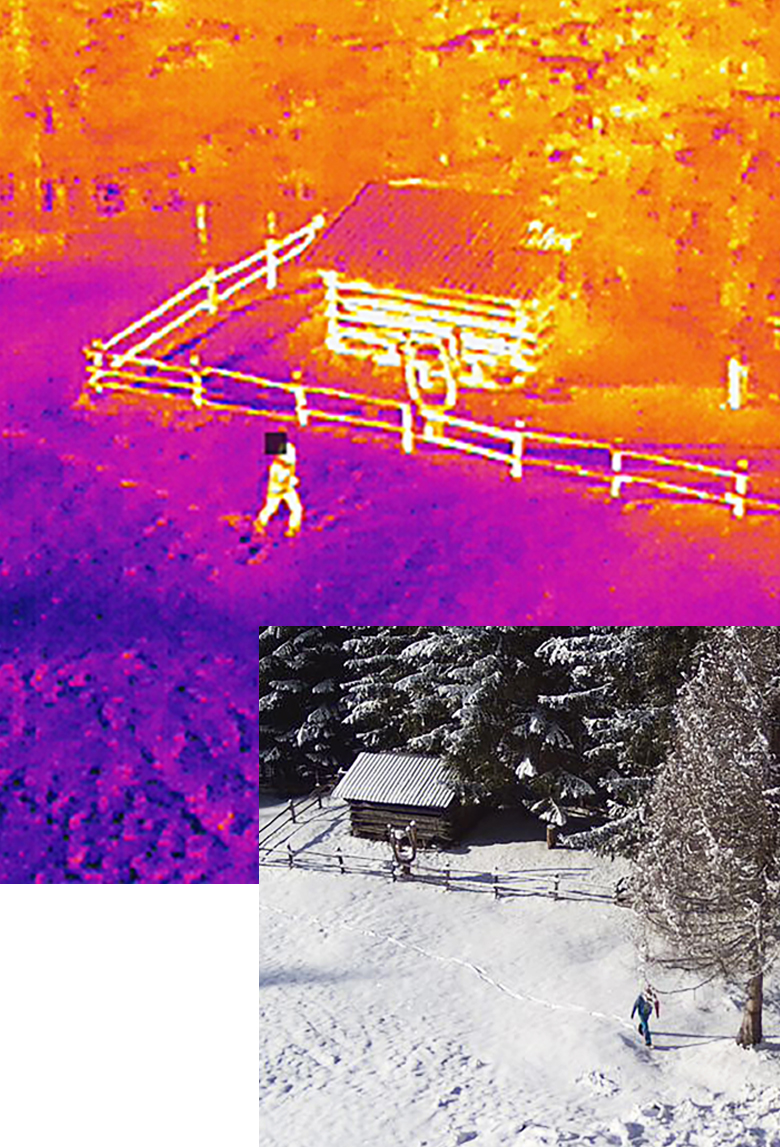
- Thermal infra-red cameras are used to secure blast areas and detect sources of heat
- Extremely precise surveying accurate to the centimetre
- Collision warning system
60ha
Recording
per flight
per flight
2cm
Camera
ground resolution
ground resolution
1PPK-RTK
Drone
technology
technology
SURVEYING
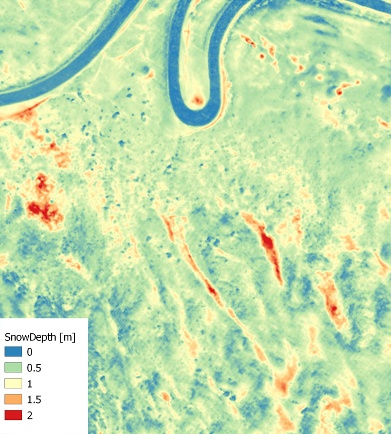
Photogrammetry
& snow depths
- Photogrammetric surveying of 3D terrain information and the creation of snow depth maps
- Surveying before and after blasting to determine the avalanche's size, slab thickness and deposit thickness
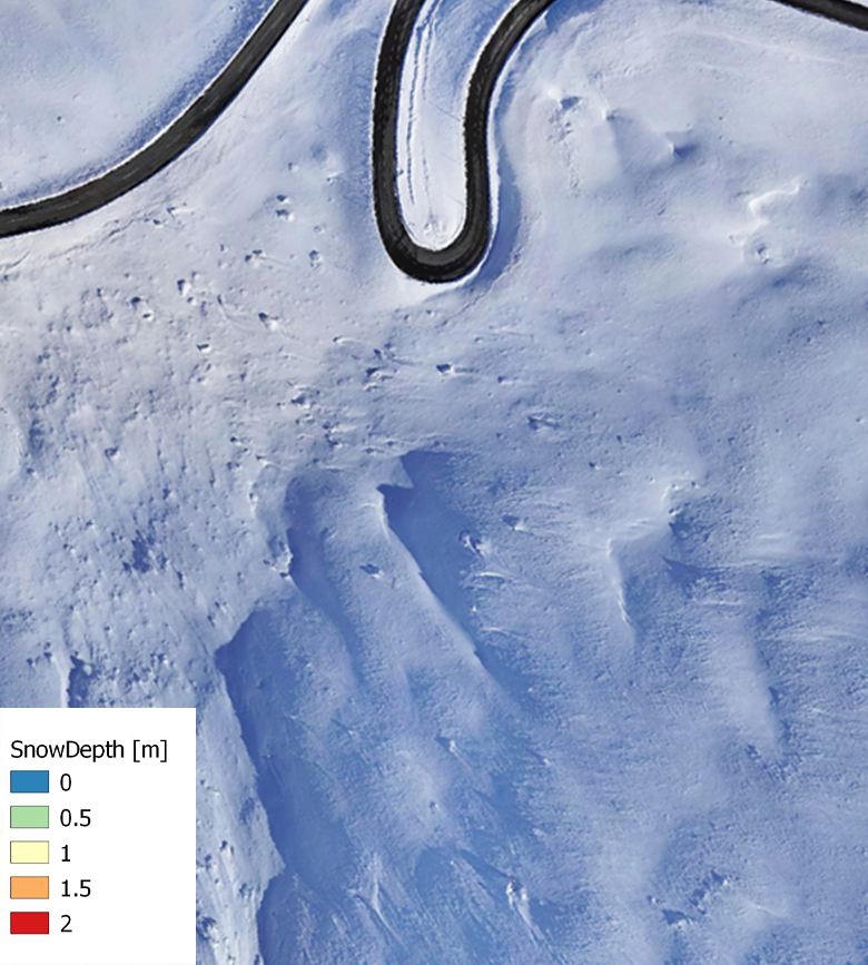
Snow depth (in metres) Orthophoto on Großglocknerstraße